
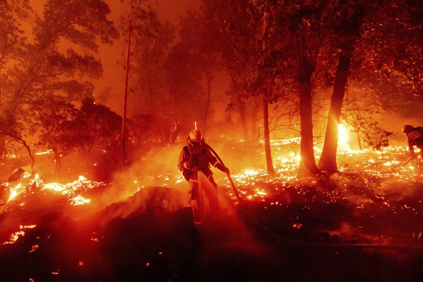
The recently started Creek Fire is devastating the land and property of communities in Eastern Fresno County. It’s effect will be felt for years to come concerning our forests, air quality, and watershed health. Here are some resources to track the current fire containment and some evacuation information.
Topographic Map with current fire activity option:
https://caltopo.com/map.html?fbclid=IwAR3Fy89HMiJSkeaJ4XFT9Dcqf8dcPWRDDlTQ2-tWRyhKfdA5ZpnJ76JCDZo#
USDA US Forest Service Inciweb:
https://www.fs.usda.gov/science-technology/fire/information
Fresno County Emergency Resources for Evacuees:
https://www.co.fresno.ca.us/departments/public-health/fresno-county-emergency
Creek Fire Evacuation Zones (Map):
https://nifc.maps.arcgis.com/apps/webappviewer/index.html?id=28ce52cb86bf49dea0adef5a78b3c1b5
CalFire updates on Creek Fire:
https://www.fire.ca.gov/incidents/2020/9/4/creek-fire/
Creek Fire Structure Status (Map):
Recent Comments